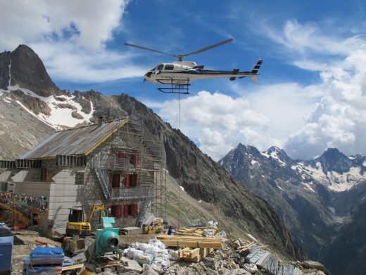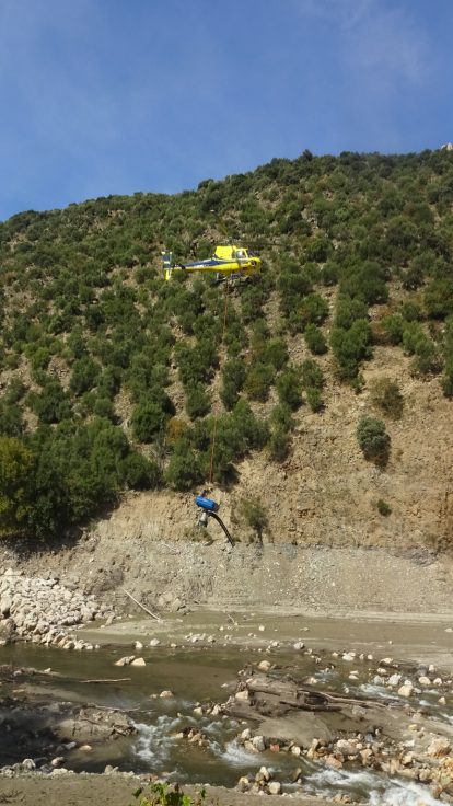
Helicat Pyrénées operates the flight for your LiDAR survey in Occitanie. We provide the helicopter, crew, overflight authorizations, flight line planning, and mission safety. The sensor and data processing are handled by a specialized provider, with whom the mission is a joint effort.
Where an aerial photo shows a surface, LiDAR measures geometry. This is the difference between seeing a forest and knowing the terrain beneath the trees.
Two Ways to Set Up Your LiDAR Survey
Depending on whether you already have a sensor or not, the mission is set up differently.
You have the sensor, you are looking for a carrier
We provide the helicopter and its crew, accustomed to the slow flight, low flight, and terrain following required for a survey. Overflight authorizations, flight line planning, and determining the weather window are handled. Sensor integration points and payload constraints are defined upstream during reconnaissance.
You are looking for mapping services
For local authorities, network managers, or design offices: you describe the area of interest, the expected density, and how you will use the data. We set up the mission with the equipped provider, and you maintain a single point of contact, from reconnaissance to the delivery of the point cloud.
What We Handle on a Mission
A LiDAR campaign is prepared like an aerial construction project. You describe the area of interest and the expected density. We obtain overflight authorizations, plan flight lines, and determine the weather window: LiDAR tolerates rain and fog poorly, as they scatter the beam.
Our flights are operated under specialized operating certificate FR.DEC.0204, which covers aerial work. Helicat Pyrénées is based in Perpignan-Rivesaltes, La Llagonne, and Marignac, in the Luchon valley.
Why the Helicopter Rather Than Plane or Drone
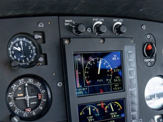
Point density, expressed in points per square meter, depends on flight altitude and speed, as well as the sensor. The higher it is, the finer the detail. Therefore, the carrier determines a significant part of the survey quality.
Drones are limited to very small areas of interest: their autonomy is short, and flight distance regulations prevent them from covering linear features, valleys, or mountain ranges.
Planes cover large areas at high speed, but from an altitude that reduces point density. They are tools for regional and national campaigns, not for a single structure, slope, or network.
Helicopters fly slowly, low, and follow the terrain. For a winding linear feature, a deep valley, a cliff, or a wall, they achieve high density across the entire area of interest, where a plane would fly too high and a drone would not go far enough. Hovering also allows for processing a difficult specific area.
What is a LiDAR Survey Used For?
The point cloud is not the deliverable; it is the raw material. Digital terrain model, surface model, point classification, contour lines, distance or volume calculations: the format and level of processing are defined before the flight, based on the intended use.
- Linear infrastructures: measuring distances between electrical conductors and vegetation, identifying at-risk trees along a line, checking the geometry of a railway track or pipeline.
- Forestry: canopy height, standing timber volume, stand structure.
- Natural hazards: micro-relief under vegetation, for mapping flood zones, landslides, slope instabilities, or collapsed cavities.
- Heritage and development: precise models of structures, quarries, archaeological sites, or infrastructure projects, usable by design offices and project owners alike.
If your need is to observe a state without measuring it, aerial surveillance is the answer.
Airborne LiDAR in Brief
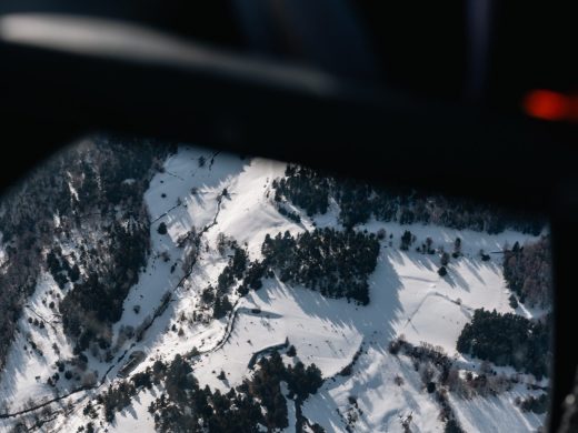
The sensor sends laser pulses to the ground and measures the return time of each echo, hundreds of thousands of times per second. It scans the ground perpendicular to the flight axis while the aircraft follows parallel lines. The result is a georeferenced three-dimensional point cloud.
A single pulse can be reflected by a treetop, an intermediate branch, and then the ground. By retaining only the last echoes, the digital terrain model beneath the vegetation is obtained: this is what makes LiDAR valuable in covered terrain.
Positioning accuracy depends on georeferencing and the quality of ground references. The canopy penetration rate depends on the season: a survey conducted without leaves allows many more pulses to reach the ground than a summer survey.
Other Missions of Helicat Pyrénées
Helicat Pyrénées also provides cargo sling load operations and aerial surveillance, from its bases in the Pyrenees, and throughout France thanks to its network of partners.
See sling load operations, aerial surveillance, and firefighting.
Frequently Asked Questions about LiDAR Mapping
Who provides the LiDAR sensor?
The sensor and data processing are handled by a specialized provider; Helicat Pyrénées operates the flight. If you have your own sensor, we provide the helicopter and its crew. Otherwise, we set up the mission with the equipped provider, and you maintain a single point of contact.
What is the difference between LiDAR and photogrammetry?
Photogrammetry reconstructs terrain from overlapping photos. It provides excellent texture but only sees what is visible: under a forest canopy, it measures the treetops, not the ground. LiDAR partially penetrates vegetation and renders the terrain beneath. In an open site, photogrammetry is often sufficient; under a forest, it does not replace LiDAR.
Can LiDAR be done under a forest?
Yes, that is even its main advantage. Some pulses reach the ground between leaves and branches, and processing isolates these last echoes to reconstruct the terrain. The penetration rate is significantly better outside the leaf-on period.
What is the best time to fly?
It depends on the objective. For a terrain model under canopy, the leafless period is significantly preferable. To measure vegetation structure, it’s the opposite. In all cases, rain and fog close the flight window.
What do you receive at the end of a mission?
A georeferenced point cloud, and depending on the order, derived products: digital terrain model, surface model, point classification, contour lines. The format and level of processing are defined before the flight, based on the intended use.
Let’s Discuss Your LiDAR Survey
Whether you are looking for a carrier for your sensor or turnkey mapping, describe your project in a few words: the area of interest, the expected density, and how you will use the data. You will receive our response within 48 hours.