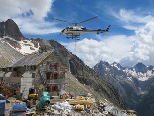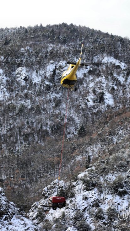
Aerial inspection involves examining a structure or territory from a helicopter, flying slowly and at low altitude. It is used to assess condition, detect anomalies, or monitor the evolution of a site. Helicat Pyrénées carries out these missions for network operators, local authorities, and facility managers.
The principle is simple: many infrastructures are difficult to inspect from the ground. A power line crosses a forest, a dam has an upstream face underwater, an unstable slope overhangs a road. The helicopter positions itself where observation is needed.
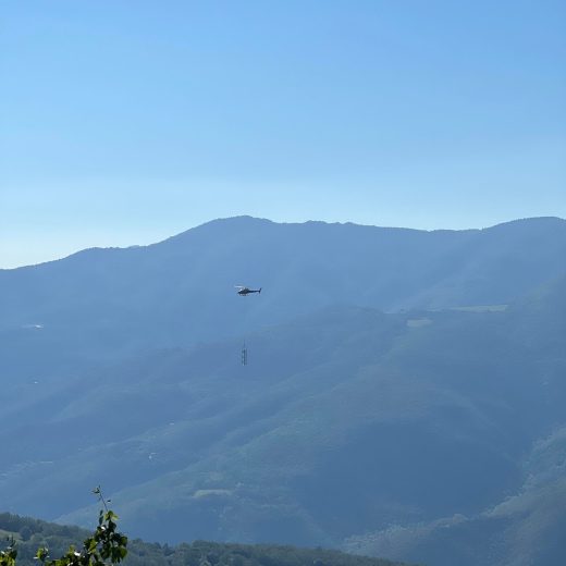
Why use aerial rather than ground inspection
A ground inspection follows existing paths. It is slow, stops where the track ends, and provides a view from below.
A helicopter covers in one morning a linear distance that would require several days on foot or by vehicle. It approaches difficult-to-access points, stabilizes at the desired height, and provides the viewing angle unavailable from the ground: the top of a deck, the crest of a structure, the top of a pylon, the crown of a tree threatening a power line.
It also makes it possible to cover an entire territory rather than a single point, which changes the nature of the information obtained. Instead of identifying an isolated defect, you see an overall condition and prioritize.
What can be inspected from a helicopter
Electrical networks
High and medium voltage lines, pylons, substations, with monitoring of vegetation near conductors, which is one of the main causes of incidents.
Hydraulic structures
Dams, penstocks, water intakes, canals, levees, including after a flood event when ground access is cut off.
Transport infrastructure
Engineering structures, viaducts, railway lines, mountain roads and their overhanging slopes.
Underground or overhead linear networks
Pipelines, telecommunications, with identification of third-party works nearby.
And natural environments: forest ranges, coastline, watercourses, with monitoring of erosion and illegal dumping.
What a mission produces
An aerial inspection is not limited to a flyover. It produces a usable assessment.
Depending on requirements, this ranges from direct observation by an onboard technician, who notes and locates anomalies in flight, to georeferenced visual recording allowing the inspection to be reviewed in the office and compared from one campaign to another.
This second approach is often the most useful. An isolated flyover provides a snapshot at one moment. A series of flyovers under the same conditions reveals a trend, and it is the trend that enables intervention decisions before an incident occurs.
What determines a mission
Three factors define the framework.
Flight altitude first. A useful inspection requires low-altitude flight, which is subject to specific regulations, particularly over populated areas, and requires a pre-planned trajectory.
Weather next. Wind complicates stabilization, haze and backlighting degrade observation. An inspection campaign is therefore planned with a margin, and the time slot is confirmed the day before.
Coordination finally, whenever the structure is in operation. The operator sets the time window, safety instructions, and sometimes the necessary lockouts.
As with all aerial work flights, procedures with the DGAC and prefecture are handled for you. You do not need to produce any of these documents.
Planning a campaign
Describe your project to us briefly: the nature of the structure, the linear distance or area to cover, what you are looking to detect, and the deadline. You will receive our response within 48 hours.
For extensive assets, it is often more efficient to process several sites in the same sector on a single flight day.
Our other missions
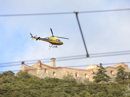
Helicat Pyrénées also provides external load lifting and LiDAR mapping services, from its bases in Perpignan-Rivesaltes, La Llagonne, and Marignac/Luchon Valley, and throughout France through its partner network.
Our flights are operated under specialized operations certificate FR.DEC.0204, which covers aerial work.
See external load lifting, LiDAR survey, and firefighting.
Frequently Asked Questions About Aerial Inspection
What is the difference between aerial inspection and LiDAR mapping?
Inspection produces a visual assessment: you examine a structure and identify what is wrong. LiDAR produces a measurement: a three-dimensional point cloud that can be used to calculate distances and volumes. You inspect with one, you measure with the other. The two can be combined on the same flight when requirements justify it.
Why inspect a power line by helicopter?
Because it handles linear distance. The helicopter covers dozens of kilometers in a day, flies slowly, stabilizes at the desired height, and provides the viewing angle unavailable from the ground: the top of a pylon, the crest of a structure, vegetation approaching conductors. For extensive assets, it is the only way to obtain an overall assessment in a single campaign.
Can you fly over a populated area?
Low-altitude flight over built-up areas is subject to specific regulations concerning trajectory and altitude. This is addressed during project planning, in advance, and sometimes determines the mission route.
How often should assets be inspected?
It depends on the structure, its exposure, and the operator’s obligations. What is constant is the value of regularity: two comparable campaigns reveal a trend, whereas an isolated flyover provides only a snapshot.
What information do we need to provide?
The nature of the structure, the linear distance or area to cover, what you are looking to detect, the type of deliverable expected, and the deadline. These elements are sufficient to frame our response, which you will receive within 48 hours.